Map is from 1910-1920
and was in seven pieces.
It covers all of Southern California from Los Angeles
on the west to Las Vegas on the east and Tonopah NV and Bishop CA
on the north. The Mexican border is the southern limit.
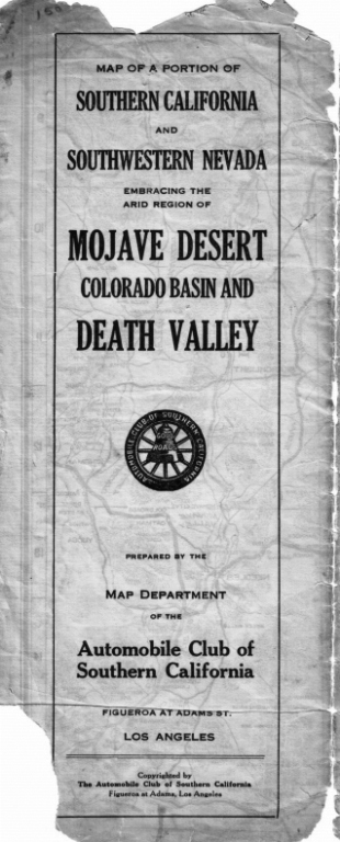
Map Title
Click on photo to see a larger version
Photo by Milt Peddy 2006
Map

Click on photo to see a larger version (larger version is 6.1 mb)
Photo by Milt Peddy 2006
Map Index

Click on photo to see a larger version (larger version is 6.1 mb)
Photo by Milt Peddy 2006